Images of
Places
(42 images)
(1662)
(1662)
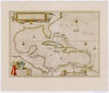
(1662)
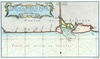
(1699)
(1728)
(1728)
(1728)
(1728)
(1728)
(1732)

(1745)
(1745)

(1745)


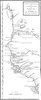
(1846)
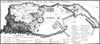
(1853)
(1853)


(1858)
(1860)